The goal of the archaeological investigation was to identify prehistoric and historic cultural resources within the project area, and to determine the eligibility of identified resources for the National Register of Historic Places (NRHP).
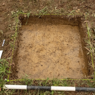
A total of 309 auger test pits, approximately 30 cm in diameter, were excavated within the project area. Additionally, seven test units were opened, of various dimensions to accommodate ground truthing of geophysical anomalies. In total, approximately 32 square meters of soil were excavated. The survey yielded eight unknown prehistoric artifacts, one historic artifact, and a few pieces of wood charcoal.
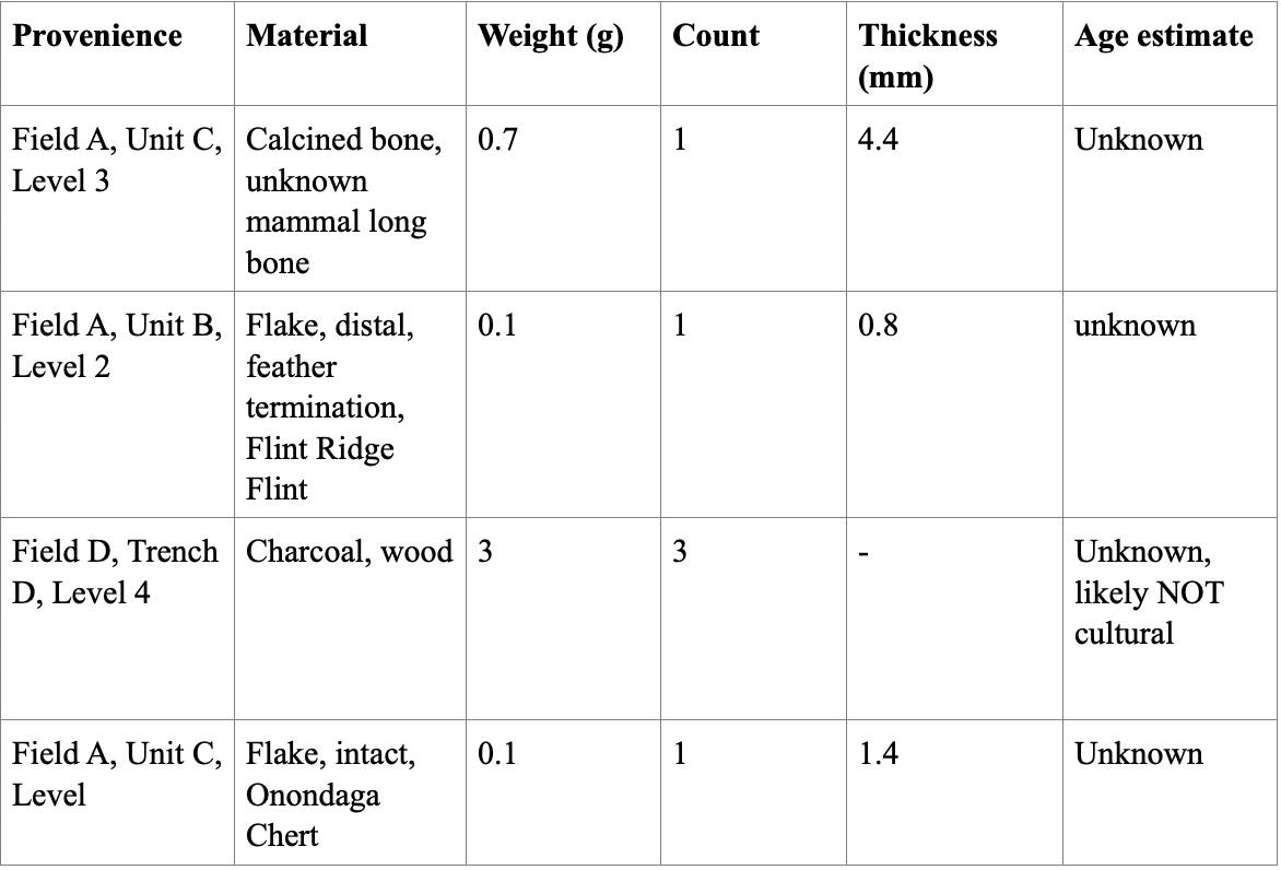
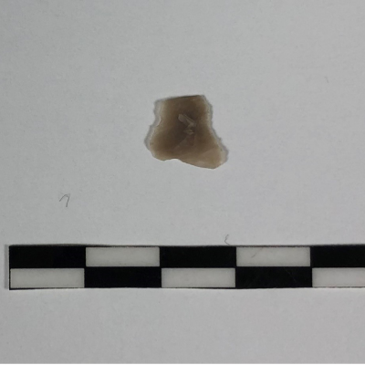
A number of anomalies or features were identified using magnetic field gradiometry. Based on the interpretations provided in Figure 12, the decision was made to excavate six small areas labeled as Areas A through F. The excavation yielded the following artifacts:

The Wetmore trail survey area contained a very low-density artifact distribution, of which none were diagnostic of a specific time period or associated with any specific culture. No intact features were identified during geophysical ground truthing and systematic auger tests. Based on
the low density reported at 33 SU 111, and the low non-diagnostic prehistoric density identified within the project area, there is a very low to no potential of yielded new or significant information about the historic or prehistoric past.


